Lake District Wainwright Walks – 7

The Lake District Cleator

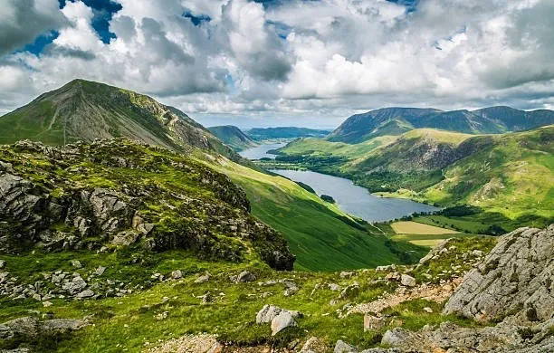
Ever wanted to tick off the "wainwright" tops but don't have the confidence to go it alone then come and join us on a journey to visit some of the fells in the quieter Western Lakes, we’ll visit 3 “wainwright” tops on the southern side of Ennerdale Water. This is a moderate hike which will be within the capabilities of any reasonably fit person. Usually kit requirements for our Lake District walks. Boots Waterproof jacket and over trousers Hat and gloves Spare warm layer Food and drink to sustain you for the time we’ll be out. Walk Length - 7.75 miles (12.5 km) Walk time - between 5.5 and 6.5 hours We may adjust the route to suit the conditions on the day This hike will be part of a weekend of hikes, there will be a different hike on Sunday 12 May in the same area so why not sign up for both and make a weekend of it with us.

£25.00

Lake District Wainwright Walks – 8

Bowness Knott car park Cleator

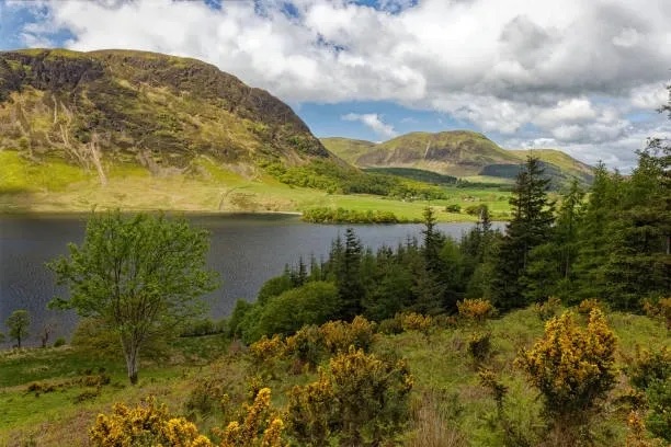
Ever wanted to tick off the "wainwright" tops but don't have the confidence to go it alone then come and join us on a journey to visit some of the fells in the quieter Western Lakes, we’ll visit 2“wainwright” tops on the northen side of Ennerdale Water. This is a moderate hike which will be within the capabilities of any reasonably fit person. Usually kit requirements for our Lake District walks. Boots Waterproof jacket and over trousers Hat and gloves Spare warm layer Food and drink to sustain you for the time we’ll be out. Walk Length - 7.5 miles (12km) Walk time - between 4.5 and 5.5 hours We may adjust the route to suit the conditions on the day This hike will be part of a weekend of hikes, there will be a different hike on Saturday 11 May in the same area so why not sign up for both and make a weekend of it with us.
£20.00

Baslow Bash

Baslow Village Hall Baslow, Bakewell

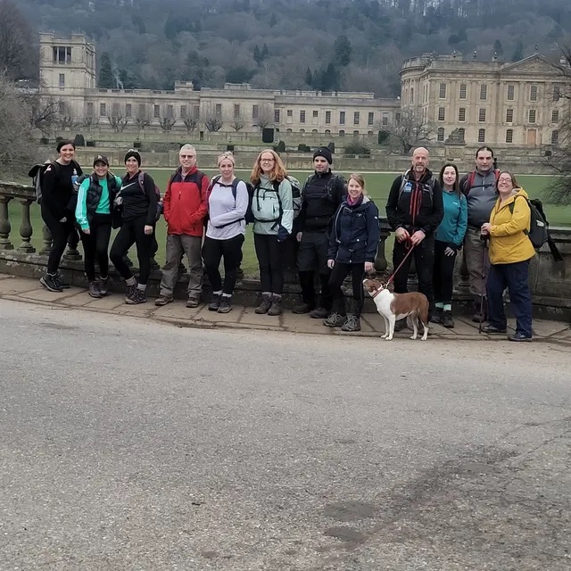
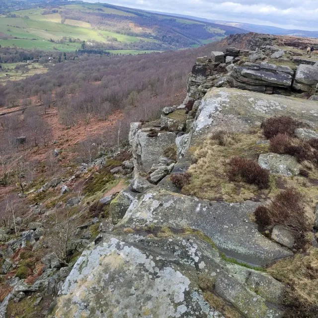
A great day out taking on a wide variety of what the Peak District has to offer. Starting at Baslow Village Hall we tackle the climb to Baslow Edge then Curbar Edge and back down into the valley before making our way up and over to Stoney Middleton then along the lovely and remote feeling Coombs Dale and onwards to Great Longstone where we access the Monsal Trail then after a time on the trail we head up through the woods and head for home with a rather lovely surprise view on the way back. As always we will finish with refreshments in the Devonshire Arms in Baslow for those who wish to join us. Please come prepared for the weather on the day and a range of underfoot conditions and bring sufficient food and fluids to sustain you for several hours in off road terrain.

£20.00

Blackhill and the Pennine Way

Crowden Car Park

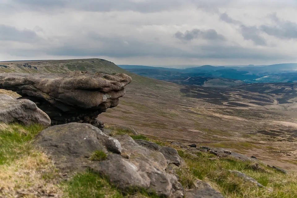
Come with us on a journey to the northern most reaches of the Peak District National Park,starting in Crowden we ascend on to Featherbed Moss, across to Tooleyshaw Moss and onwards to the trig point at Black Hillon the Pennine Way, we then follow the Pennine Way back to Crowden passing across the top of the iconic Laddow Rocks. A lovely 9 miles in the Dark Peak. This walk includes some steep ups and downs and can be wet and boggy so appropriate footwear and clothing required. Sufficient food and fluids required for 4 to 5 hours in remote terrain. Start point and parking. https://maps.app.goo.gl/PMaKWxNpDarBdRQM6  

£15.00

Bathley – Caunton Circular

The Crown Inn, Bathley Main Street, Bathley

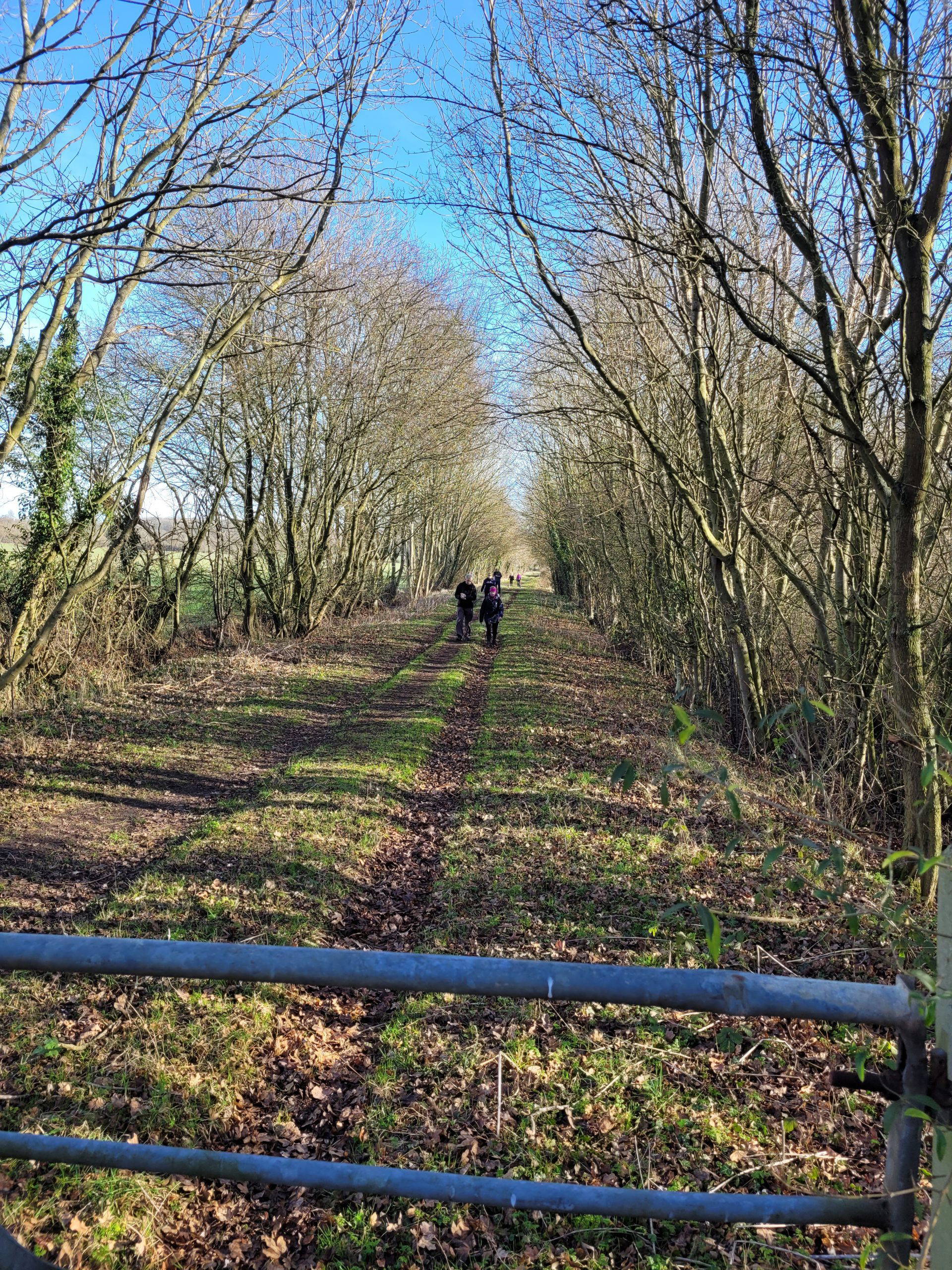
Join us for a lovely circular walk in the Nottinghamshire countryside around Bathley, Norwell and Caunton. Taking in footpaths, woodland trails, farmland and quiet country lanes this walk has some expansive views from the higher points on the walk but its never too difficult. Start Point - Outside the Crown Inn, Bathley Distance - 6.5 miles Time - 2.5 hours Generally good underfoot but can be muddy after a spell of rain so come prepared for the conditions on the day including fluids to keep you hydrated and snacks for energy. We'll be visiting the Crown Inn afterwards for post walk refreshments. Suitable for all who are happy with the distance or want to try something a bit longer if you're used to shorter distances.

£8.00

Fiskerton Flutter

Trent View Car Park,Fiskerton

A lovely 6 mile flat loop in the Nottinghamshire countryside around the River Trent taking in riverside paths,footpaths and quiet countryside lanes. Suitable for all abilities and if you've not been with us before then this is a great introduction to walking with us and finding out more about our welcoming ethos. Due to the nature of the terrain and proximity to the river and local tributaries the walk can be muddy in places after a wet spell. In the summer part of the walk can be quite overgrown so log trousers are always a good idea unless you're feeling brave and adventurous! Start point of walk on below link,free parking available here. https://maps.app.goo.gl/Q2BSsuehXU9hNBc18

£8.00

Trent Valley Way – Nottingham to Newark

Trent Side North Trent Side North, Nottingham

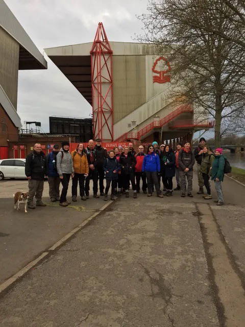
Description Join us as we walk the Trent Valley Way between Nottingham and Newark A great challenge walk of around 25 miles following the River Trent from Trent Bridge in Nottingham to Trent Bridge in Newark. A real mix of footpaths, fields, quiet country lanes and riverside paths. Generally a flat walk with no real difficulties other than the usual mud after rain. Suitable for anyone who wants to push their distance or just wants to spend the day with our sociable group. Start point will be next to Trent Bridge, Nottingham by Nottingham Forest football ground. On arrival back in Newark we shall have celebratory food and drink at a local establishment to be confirmed for those that wish to join us

£25.00

Tunman Woods and Thorpe on the Hill – 6 miles

Old Halfway House Old Halfway House

Join us for a leisurely hike around Tunman Woods and Thorpe on the Hill. Starting outside the old Halfway House, adjacent to the A46 at Swinderby Roundabout we skirt the woods and head across the fields to Thorp on the Hill ,through the village and down a well established farm track back the woods. We then make our way through the woodland and out to Morton village and back to our start point. A good introduction walk with our group if you're just starting out, you'll be made very welcome.

£8.00

Dambusters Challenge Walk

Dambusters Challenge - A high level route around the three reservoirs in the Upper Derwent Valley,Ladybower Derwent and Howden Reservoirs the area used for training runs in World War Two by the 617 Squadron "Dambusters" This is a challenging route in the Dark Peak which will be a great day out for anyone who wants to take their hiking to the next level or anyone that wants to join a friendly and welcoming group to complete the challenge. Fully guided by us on the day so you just need to turn up full of energy and enthusiasm and we'll do our absolute best to get you round. As with all these challenges the conditions on the day will dictate pace and timings but you'll need suitable kit,food and fluids to keep you going for 8 to 10 hours,we can of course advise on this for those that aren't sure what they need. Start Point - https://maps.app.goo.gl/MwXUkdEoDN4ULUCv8

£25.00

Upton and Rolleston Circular

Come and Join us this coming Sunday to blow away those sunday morning cobwebs and set yourself up for the rest of the day. A lovely walk around the countryside between the Nottinghamshire villages of Upton,Rolleston and Averham. We'll walk alongside the River Trent,pass by Southwell Racecourse and Rolleston Mill. This walk is reasonably flat with one gradual incline and decline into Upton village and well within the capabilities of any regular walkers. Dogs are always welcome on our walks but you must be in control of them at all times. If you have any questions or queries please call or message 07938 859286 or email enquiries@mountainandmooradventures.co.uk Meet point is on Station Road,Rolleston in the small layby opposite the church. https://maps.app.goo.gl/XMg3AEsg19XxWkSg9  

£8.00

Collingham Roman Roads Walk

Come along and join our friendly and welcoming group  for a couple of hours in the Notiinghamshire countryside taking in the old roman roads of North and South Scaffold lanes just east of the village of Collingham. This a straightforward walk on country lanes ,footpaths and woodland trails but can be muddy in places after rain so appropriate footwear required. Suitable outdoor clothing  for the conditions on the day. We will be out in open countryside for most of the walk. Snacks and fluids to sustain you for 2 to 2.5 hours out in the countryside. Dogs always welcome but they must be kept under close control and have good recall if off lead. Meet point is the car park at Collingham Railway Station for a 09.30 start. Google maps link below: https://maps.app.goo.gl/dHFkb43wvy5knDGG6    

£5.00